Overview
The Ripon Rowel is a fifty mile loop around the lower Ure valley, starting and finishing in the ancient city of Ripon, and following recognised public rights of way and permissive paths. The trail takes in picturesque villages, sites of historical interest, woods, valleys, rivers, lakes and streams.
Notable highlights include Fountains Abbey, Studley Deer Park and the Seven Bridges Valley, Eavestone Lakes, the ‘Druids’ Temple’ at Swinton and Hackfall Woods.
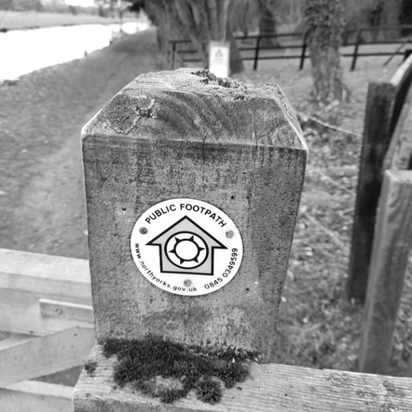
The route is generally well-signposted, although a map and/or GPS unit are essential.
Planning Your Ultra
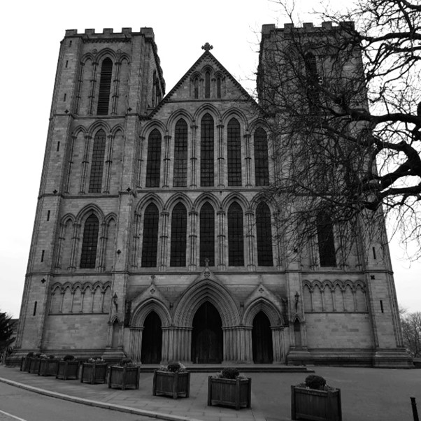
While one of the core principles of the #DIYUltras series is that you are free to start and end your route at any point of your pleasing (provided that you complete a full loop), it is recommended that you depart from and end at the Ripon Cathedral Steps, and bear south towards South Stainley, as per the documented route description. If nothing else, this will add to both the sense of occasion, and achievement when you complete your run!
Should you wish to consider alternative start/end locations, parking is available at Bishop Monkton, Burton Leonard, South Stainley, Fountains Abbey, Sawley, Eavestone, Ilton, Swinton Bivouac, Masham and North Stainley.
There are numerous points along the way where one may avail themselves of facilities or shops, and there are numerous opportunities to rendezvous with a support crew, or leave a drop bag or two. These locations are detailed in the accompanying route description.
Being that a large chunk of the route traverses the foot of valleys and is adjacent to rivers, certain areas may be significantly soggy following heavy rain – be prepared! Also, there are some very muddy (and worse) areas along the route – in particular be very careful passing through the fields at High Gowbusk Farm.
I would estimate that circa 20% of the course runs along roads, though none of these are of the busy or “main” road variety, and are more single-track country lanes. Naturally, great caution is to be exercised when running on these roads.
I have completed the circuit on three occasions without support crew, and found that 2 litres of drink was sufficient, together with the usual packed sandwiches etch (or in my case – 3 Greggs cheese and onion pasties!). More water will be needed in the warmer summer months so you will need to make appropriate preparations.
Ripon Rowel Challenge Report – 21st March 2021
Now follows a challenge report for a complete traverse of the full Ripon Rowel with my sister in law, Jill. Please note: this is not intended to be a route description – that is an entirely separate document and can be accessed via this page, and from the Northern Counties DIY Ultras Facebook page.
We departed Ripon Cathedral at bang-on 6am, heading south following the Ripon canal, then onto the River Ure, ultimately breaking away to follow the Ripon Rowel as it leads into Bishop Monkton. Conditions were still rather wet but we were able to follow the sign-posted Rowel footpath without any diversion, and without soaking our feet too badly.
It should be noted at this stage that Jill’s favourite (i.e. most comfy) trail running shoes had by this point seen better days, and were (barely) held together with nowt more than sticky tape!
The first ten miles were uneventful, though we were taking a very steady pace. The first major incident was passing through the Alpaca farm at South Stainley. The Alpacas here are VERY friendly and are always keen to meet new faces. From there we made our way towards Markenfield and its stunning stately home. From here we headed back in the general direction of Ripon.

Just before we turned sharp left off Whitcliffe Lane towards Mackershaw Wood and the Studley Deer Park, we were greeted by Jill’s hubby Matthew and their fuzzy friend Lily-dog, which gave us a fantastic little pep.
Matthew and Lily departed after the Deer Park and we made our way towards Sawley, via Spa Ghyll. Not before long we had passed through the very muddy fields of High Gowbusk Farm and were buzzing our way through the woods surrounding Eavestone Lake – my favourite section of the course by a long shot! This is beautifully picturesque stretch, skirting the lake’s edge and through very attractive woodland. We then picked up the undulating road passing through Eavestone, and following the trail through High Skelding.
The long trot along the Drift Lane track was uneventful, though at over halfway through a little fatigue was starting to take control! After a quick ‘jink’ on the main road just after Wetshod Lane we continued along the ‘Mosaic Trail’. We hurried through the farm yard at Low Farm so as to avoid the deranged rabid dogs (thankfully chained) and then through past the Carlesmoor Sighting Tower.
After picking up the main road at Chicken Corner (not a KFC type joint, sadly) we met up with Matt who was on hand in the van with hot drinks and food. A lengthy rest was taken here and batteries were recharged (metaphorically speaking, not literally) and then we pressed on with a long tarmac road section of 2 or 3 miles, until turning back onto the moor at Mouscar (be very careful to watch for the sign-posted gate through the drystone wall off the road here).
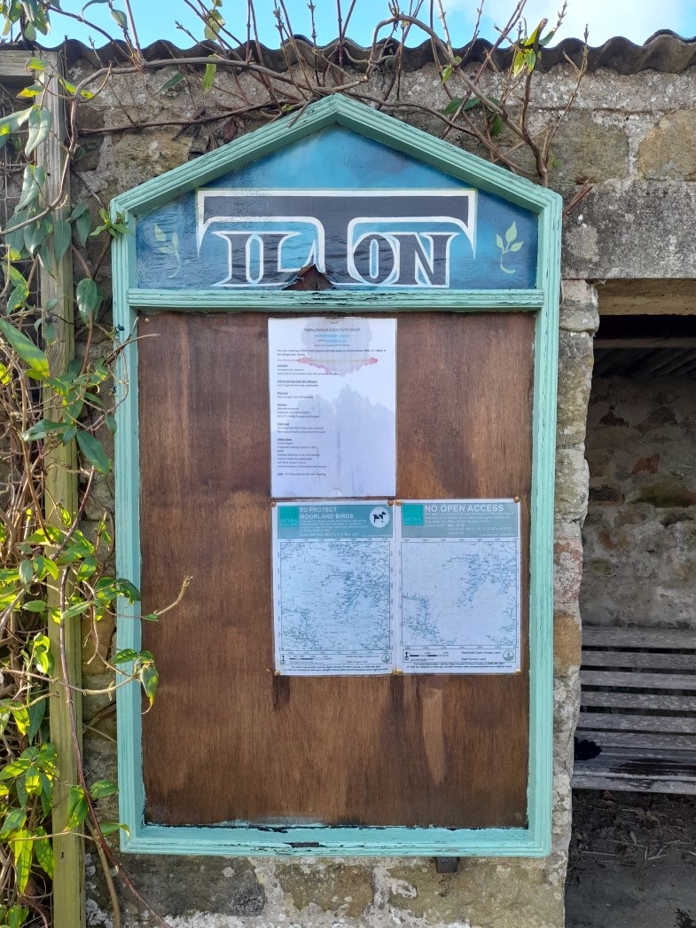
From here we made our way to Ilton, which is home to my favourite ever bus stop in the world (just ahead of the BSi Terminal in Reykjavik), and then made steady progress down the very steep and very “hard on the knees” Ilton Bank. At the very bottom of the bank a sharp left is taken and the Rowel is well-signed leading you up to the facilities at Swinton Bivouac. Sadly, no such facilities were available to us, with this journey being taken in the middle of Lockdown! We resisted the temptation to visit the Druid’s Temple, instead pressing on, determined in our quest.
Tiredness and aches had well and truly taken over by now and from here the slog towards Masham felt like a long, well, a long slog. We didn’t dwell in Masham Market Square for too long (this is very tempting) and pressed on, picking up the bank of the River Ure, which is now basically followed all of the way back to Ripon. Hackfall Wood was very muddy, which is tough going on shattered legs, and from here we milled our way through Mickley and on towards West Tanfield.

Shortly after Tanfield we passed through Sleningford Water Mill, which was eerie to see in its deserted state! And from here, we passed through North Stainley, where Jill took the opportunity of a comfort break in a friend’s washroom.
Now well and truly on the home straight we marched through the various farms of Ripon Parks and through North Lees. Upon reaching North Bridge in Ripon it takes some coaxing of oneself to take the 1.5 mile detour along the riverside to the Cathedral, as opposed to the half mile trot should you follow Magdalen Road. But when you’ve come this far you’d be a right ninny to take a shortcut at this stage, wouldn’t you?
Matt and Lily-dog once again joined us for the final mile along the Ure and not before long we were jogging up to the Cathedral.
Total time taken was 12 hours 40 minutes – not the fastest attempt we’ll see, but worth every step for a lovely day out!
Epilogue
This really is a fantastic route for anybody – there is a bit of everything – open trails, woodlands, lakes, tarmac roads – and the signposting really is very thorough. This is a perfect proposition for anyone wanting to get an Ultra distance run, without any significant concern over navigation (though do not be complacent – it is still rather easy to go wrong!). I’ve now completed the Rowel three times this year alone, and I’m sure I’ll be doing it again J
